Supported by Dr. Osamu Ogasawara and  . . |
|
Last data update: 2014.03.03 |
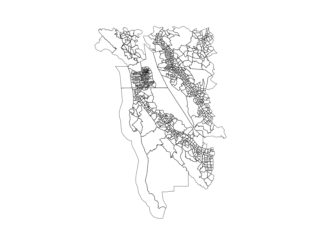
Census Tract spatial polygons for the state of CaliforniaDescriptionObject of class SpatialPolygonsDataFrame containing spatial polygons of Census tracts in California. The object has been originally created from the 2010 US Census tiger/line boundary files (http://www.census.gov/geo/www/tiger/) for Census Tracts. The polygons have been manually cropped to the area in and around San Francisco. Usagedata(california.tract10) FormatAn object of class SpatialPolygonsDataFrame from the sp package
DetailsFor details on the summary variables present in the data frame please refer http://www.census.gov/prod/cen2000/doc/sf1.pdf Sourcehttp://cran.r-project.org/web/packages/UScensus2010/index.html ReferencesZack W. Almquist (2010). US Census Spatial and Demographic Data in R: The UScensus2000 Suite of Packages. Journal of Statistical Software, 37(6), 1-31. URL http://www.jstatsoft.org/v37/i06/ http://www.census.gov/prod/cen2000/doc/sf1.pdf Examplesdata(california.tract10, envir = environment()) plot(california.tract10) Results
R version 3.3.1 (2016-06-21) -- "Bug in Your Hair"
Copyright (C) 2016 The R Foundation for Statistical Computing
Platform: x86_64-pc-linux-gnu (64-bit)

R is free software and comes with ABSOLUTELY NO WARRANTY.
You are welcome to redistribute it under certain conditions.
Type 'license()' or 'licence()' for distribution details.

R is a collaborative project with many contributors.
Type 'contributors()' for more information and
'citation()' on how to cite R or R packages in publications.

Type 'demo()' for some demos, 'help()' for on-line help, or
'help.start()' for an HTML browser interface to help.
Type 'q()' to quit R.

> library(RapidPolygonLookup)
Loading required package: sp
Loading required package: RANN
Loading required package: PBSmapping

-----------------------------------------------------------
PBS Mapping 2.69.76 -- Copyright (C) 2003-2016 Fisheries and Oceans Canada

PBS Mapping comes with ABSOLUTELY NO WARRANTY;
for details see the file COPYING.
This is free software, and you are welcome to redistribute
it under certain conditions, as outlined in the above file.

A complete user guide 'PBSmapping-UG.pdf' is located at
/home/ddbj/local/lib64/R/library/PBSmapping/doc/PBSmapping-UG.pdf

Packaged on 2015-04-23
Pacific Biological Station, Nanaimo

All available PBS packages can be found at
http://code.google.com/p/pbs-software/

To see demos, type '.PBSfigs()'.
-----------------------------------------------------------


Loading required package: RgoogleMaps
> png(filename="/home/ddbj/snapshot/RGM3/R_CC/result/RapidPolygonLookup/california.tract10.Rd_%03d_medium.png", width=480, height=480)
> ### Name: california.tract10
> ### Title: Census Tract spatial polygons for the state of California
> ### Aliases: california.tract10
> ### Keywords: datasets
>
> ### ** Examples
>
> data(california.tract10, envir = environment())
> plot(california.tract10)
>
>
>
>
>
> dev.off()
null device
          1
>
|