Supported by Dr. Osamu Ogasawara and  . . |
|
Last data update: 2014.03.03 |
Creates a Region objectDescriptionThis creates an instance of the Region class. If the user supplied a shapefile all information will be extracted from here. Otherwise the user needs to specify a list of polygons describing the areas of interest (coords) and optionally a list of polygons describing the areas to be excluded (gaps). If area is not specified it will be calculated. Usagemake.region(region.name, strata.name = character(0), units, area = numeric(0), shapefile = NULL, coords = list(), gaps = list()) Arguments
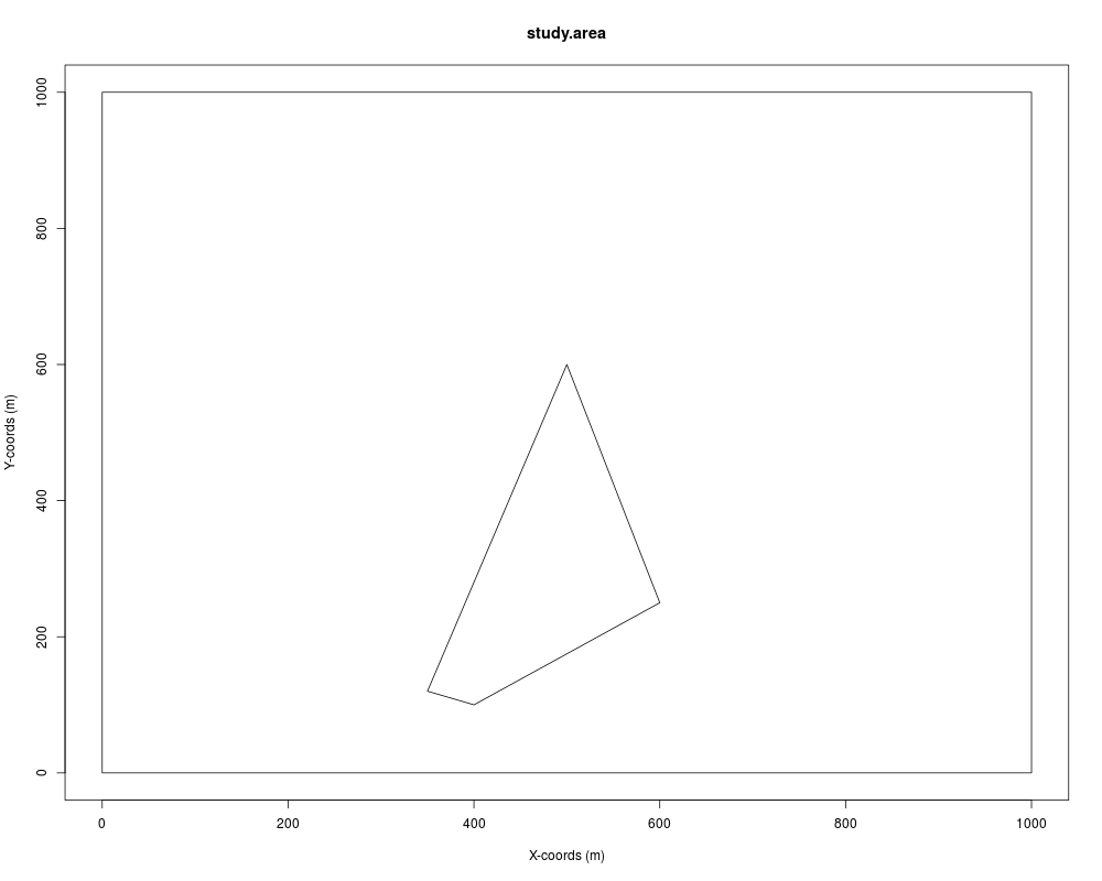
Valueobject of class Region Author(s)Laura Marshall Examplescoords <- gaps <- list() coords[[1]] <- list(data.frame(x = c(0,1000,1000,0,0), y = c(0,0, 1000,1000,0))) gaps[[1]] <- list(data.frame(x = c(400,600,500,350,400), y = c(100, 250,600,120,100))) region <- make.region(region.name = "study.area", units = "m", coords = coords, gaps = gaps) plot(region) Results
R version 3.3.1 (2016-06-21) -- "Bug in Your Hair"
Copyright (C) 2016 The R Foundation for Statistical Computing
Platform: x86_64-pc-linux-gnu (64-bit)

R is free software and comes with ABSOLUTELY NO WARRANTY.
You are welcome to redistribute it under certain conditions.
Type 'license()' or 'licence()' for distribution details.

R is a collaborative project with many contributors.
Type 'contributors()' for more information and
'citation()' on how to cite R or R packages in publications.

Type 'demo()' for some demos, 'help()' for on-line help, or
'help.start()' for an HTML browser interface to help.
Type 'q()' to quit R.

> library(DSsim)
Loading required package: splancs
Loading required package: sp

Spatial Point Pattern Analysis Code in S-Plus

 Version 2 - Spatial and Space-Time analysis

Loading required package: mrds
This is mrds 2.1.14
Built: R 3.3.1; ; 2016-07-02 00:29:24 UTC; unix
Loading required package: mgcv
Loading required package: nlme
This is mgcv 1.8-12. For overview type 'help("mgcv-package")'.
Loading required package: shapefiles
Loading required package: foreign

Attaching package: 'shapefiles'

The following objects are masked from 'package:foreign':

    read.dbf, write.dbf

> png(filename="/home/ddbj/snapshot/RGM3/R_CC/result/DSsim/make.region.Rd_%03d_medium.png", width=480, height=480)
> ### Name: make.region
> ### Title: Creates a Region object
> ### Aliases: make.region
>
> ### ** Examples
>
> coords <- gaps <- list()
> coords[[1]] <- list(data.frame(x = c(0,1000,1000,0,0), y = c(0,0,
+  1000,1000,0)))
> gaps[[1]] <- list(data.frame(x = c(400,600,500,350,400), y = c(100,
+  250,600,120,100)))
>
> region <- make.region(region.name = "study.area", units = "m",
+  coords = coords, gaps = gaps)
> plot(region)
>
>
>
>
>
>
> dev.off()
null device
          1
>
|
Created & Maintained by Osamu Ogasawara (osamu.ogasawara@gmail.com) and 