Supported by Dr. Osamu Ogasawara and  . . |
|
Last data update: 2014.03.03 |
Tiles (subsets or clips) a spatial object to regular blocksDescriptionTiles objects of class Usage
## S4 method for signature 'SpatialPointsDataFrame'
tile(x, y, block.x, ...)
## S4 method for signature 'SpatialPixelsDataFrame'
tile(x, y, block.x, ...)
## S4 method for signature 'SpatialPolygonsDataFrame'
tile(x, y, block.x, tmp.file = TRUE,
    program, show.output.on.console = FALSE, ...)
## S4 method for signature 'SpatialLinesDataFrame'
tile(x, y, block.x, tmp.file = TRUE,
    program, show.output.on.console = FALSE, ...)
## S4 method for signature 'RasterLayer'
tile(x, y, block.x, tmp.file = TRUE,
    program, show.output.on.console = FALSE, ...)
Arguments
DetailsWhen working with objects of type ValueReturns a list of objects of the same class as the input object. Author(s)Tomislav Hengl See Also
Examples
## spatial pixels:
library(sp)
data(meuse.grid)
gridded(meuse.grid) <- ~x+y
tl <- getSpatialTiles(meuse.grid, block.x=1000)
image(meuse.grid)
lines(as(tl, "SpatialLines"))
## all at once:
pix.lst <- tile(meuse.grid, block.x=1000)
## Not run: ## lines:
library(plotKML)
data(eberg_contours)
line.lst <- tile(eberg_contours, block.x=5000)
spplot(line.lst[[1]][2])
## polygons:
data(eberg_zones)
## this one requires ogr2ogr function:
pol.lst <- tile(eberg_zones, block.x=5000)
spplot(pol.lst[[1]][1])
## raster files via rgdal:
library(rgdal)
fn = system.file("pictures/SP27GTIF.TIF",
 package = "rgdal")
obj <- GDALinfo(fn)
ras.lst <- getSpatialTiles(obj, block.x=1000)
offset <- c(ras.lst$offset.y[1], ras.lst$offset.x[1])
region.dim <- c(ras.lst$region.dim.y[1],
  ras.lst$region.dim.x[1])
## read the first tile:
SP27GTIF_T1 <- readGDAL(fn, offset=offset,
  region.dim=region.dim)
str(SP27GTIF_T1)

## End(Not run)
Results
R version 3.3.1 (2016-06-21) -- "Bug in Your Hair"
Copyright (C) 2016 The R Foundation for Statistical Computing
Platform: x86_64-pc-linux-gnu (64-bit)
R is free software and comes with ABSOLUTELY NO WARRANTY.
You are welcome to redistribute it under certain conditions.
Type 'license()' or 'licence()' for distribution details.
R is a collaborative project with many contributors.
Type 'contributors()' for more information and
'citation()' on how to cite R or R packages in publications.
Type 'demo()' for some demos, 'help()' for on-line help, or
'help.start()' for an HTML browser interface to help.
Type 'q()' to quit R.
> library(GSIF)
GSIF version 0.5-2 (2016-06-25)
URL: http://gsif.r-forge.r-project.org/
> png(filename="/home/ddbj/snapshot/RGM3/R_CC/result/GSIF/tile.Rd_%03d_medium.png", width=480, height=480)
> ### Name: tile
> ### Title: Tiles (subsets or clips) a spatial object to regular blocks
> ### Aliases: tile tile,SpatialPixelsDataFrame-method
> ### tile,SpatialPointsDataFrame-method tile,SpatialLinesDataFrame-method
> ### tile,SpatialPolygonsDataFrame-method tile,RasterLayer-method
> ### Keywords: methods
>
> ### ** Examples
>
> ## spatial pixels:
> library(sp)
> data(meuse.grid)
> gridded(meuse.grid) <- ~x+y
> tl <- getSpatialTiles(meuse.grid, block.x=1000)
Generating 20 tiles...
Returning a list of tiles for an object of class SpatialPixelsDataFrame with 0 percent overlap
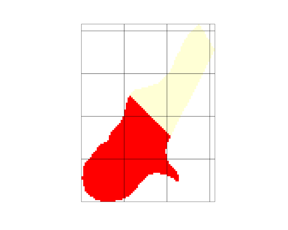
> image(meuse.grid)
> lines(as(tl, "SpatialLines"))
> ## all at once:
> pix.lst <- tile(meuse.grid, block.x=1000)
Generating 20 tiles...
Returning a list of tiles for an object of class SpatialPixelsDataFrame with 0 percent overlap
Subseting object of class "SpatialPixelsDataFrame"...
> ## Not run:
> ##D ## lines:
> ##D library(plotKML)
> ##D data(eberg_contours)
> ##D line.lst <- tile(eberg_contours, block.x=5000)
> ##D spplot(line.lst[[1]][2])
> ##D ## polygons:
> ##D data(eberg_zones)
> ##D ## this one requires ogr2ogr function:
> ##D pol.lst <- tile(eberg_zones, block.x=5000)
> ##D spplot(pol.lst[[1]][1])
> ##D ## raster files via rgdal:
> ##D library(rgdal)
> ##D fn = system.file("pictures/SP27GTIF.TIF",
> ##D package = "rgdal")
> ##D obj <- GDALinfo(fn)
> ##D ras.lst <- getSpatialTiles(obj, block.x=1000)
> ##D offset <- c(ras.lst$offset.y[1], ras.lst$offset.x[1])
> ##D region.dim <- c(ras.lst$region.dim.y[1],
> ##D ras.lst$region.dim.x[1])
> ##D ## read the first tile:
> ##D SP27GTIF_T1 <- readGDAL(fn, offset=offset,
> ##D region.dim=region.dim)
> ##D str(SP27GTIF_T1)
> ## End(Not run)
>
>
>
>
>
> dev.off()
null device
1
>
|