Supported by Dr. Osamu Ogasawara and  . . |
|
Last data update: 2014.03.03 |
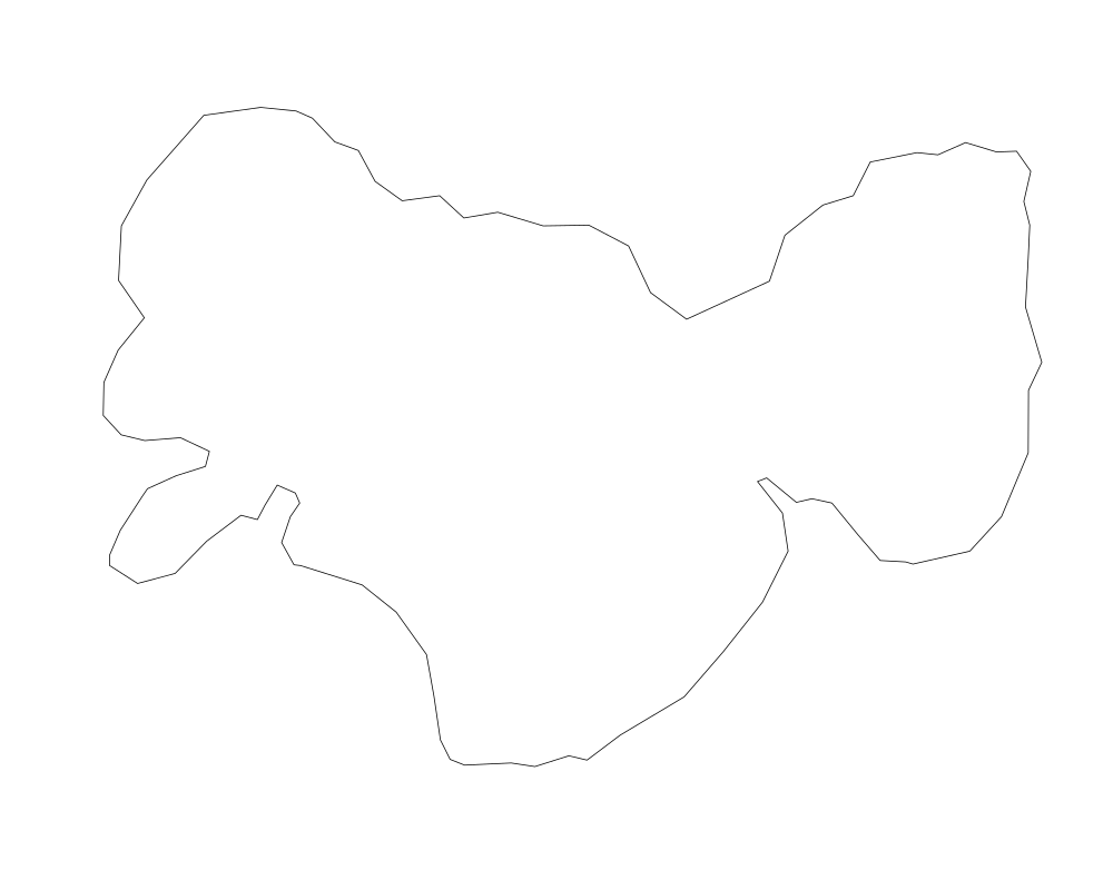
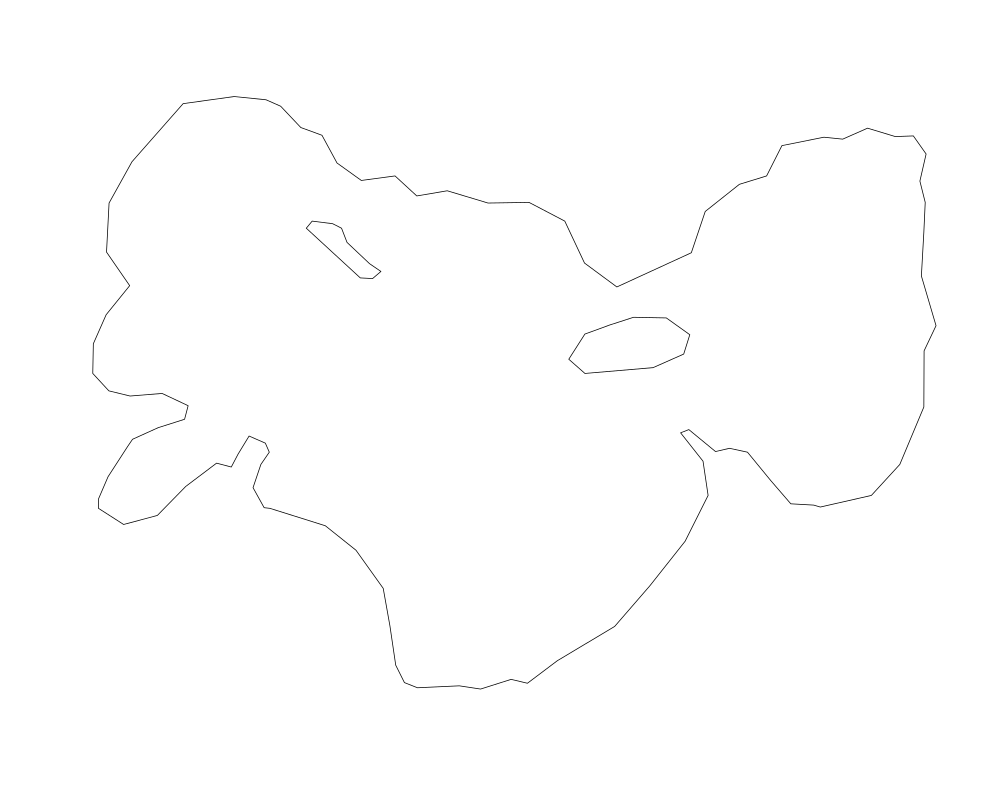
Two imported shapefiles are provided. One is the perimeter of a pond, the second is the same pond but with the internal islands (holes) included.DescriptionThese two shapefile imports can be used to test the functionality of the ShrinkShape function and to become familiar with its use. The two versions of the shapefile illustrate the handling of islands (holes) in the data. Usagedata("data")
FormatThese are in imported shapefile format. They were imported using rgdal:readOGR. DetailsThese are simple single-shape shapefiles. SourceThese pond perimeters were digitized in-house by Connie Ko at York University. ReferencesThere are no references for these data elements. Examplesdata(data) plot(data$p4no) plot(data$p4is) Results
R version 3.3.1 (2016-06-21) -- "Bug in Your Hair"
Copyright (C) 2016 The R Foundation for Statistical Computing
Platform: x86_64-pc-linux-gnu (64-bit)

R is free software and comes with ABSOLUTELY NO WARRANTY.
You are welcome to redistribute it under certain conditions.
Type 'license()' or 'licence()' for distribution details.

R is a collaborative project with many contributors.
Type 'contributors()' for more information and
'citation()' on how to cite R or R packages in publications.

Type 'demo()' for some demos, 'help()' for on-line help, or
'help.start()' for an HTML browser interface to help.
Type 'q()' to quit R.

> library(ShapePattern)
Loading required package: rgdal
Loading required package: sp
rgdal: version: 1.1-10, (SVN revision 622)
 Geospatial Data Abstraction Library extensions to R successfully loaded
 Loaded GDAL runtime: GDAL 1.11.3, released 2015/09/16
 Path to GDAL shared files: /usr/share/gdal/1.11
 Loaded PROJ.4 runtime: Rel. 4.9.2, 08 September 2015, [PJ_VERSION: 492]
 Path to PROJ.4 shared files: (autodetected)
 Linking to sp version: 1.2-3
Loading required package: rgeos
rgeos version: 0.3-19, (SVN revision 524)
 GEOS runtime version: 3.5.0-CAPI-1.9.0 r4084
 Linking to sp version: 1.2-3
 Polygon checking: TRUE

> png(filename="/home/ddbj/snapshot/RGM3/R_CC/result/ShapePattern/data.Rd_%03d_medium.png", width=480, height=480)
> ### Name: data
> ### Title: Two imported shapefiles are provided. One is the perimeter of a
> ###   pond, the second is the same pond but with the internal islands
> ###   (holes) included.
> ### Aliases: data
> ### Keywords: datasets
>
> ### ** Examples
>
> data(data)
> plot(data$p4no)
> plot(data$p4is)
>
>
>
>
>
> dev.off()
null device
          1
>
|
Created & Maintained by Osamu Ogasawara (osamu.ogasawara@gmail.com) and 